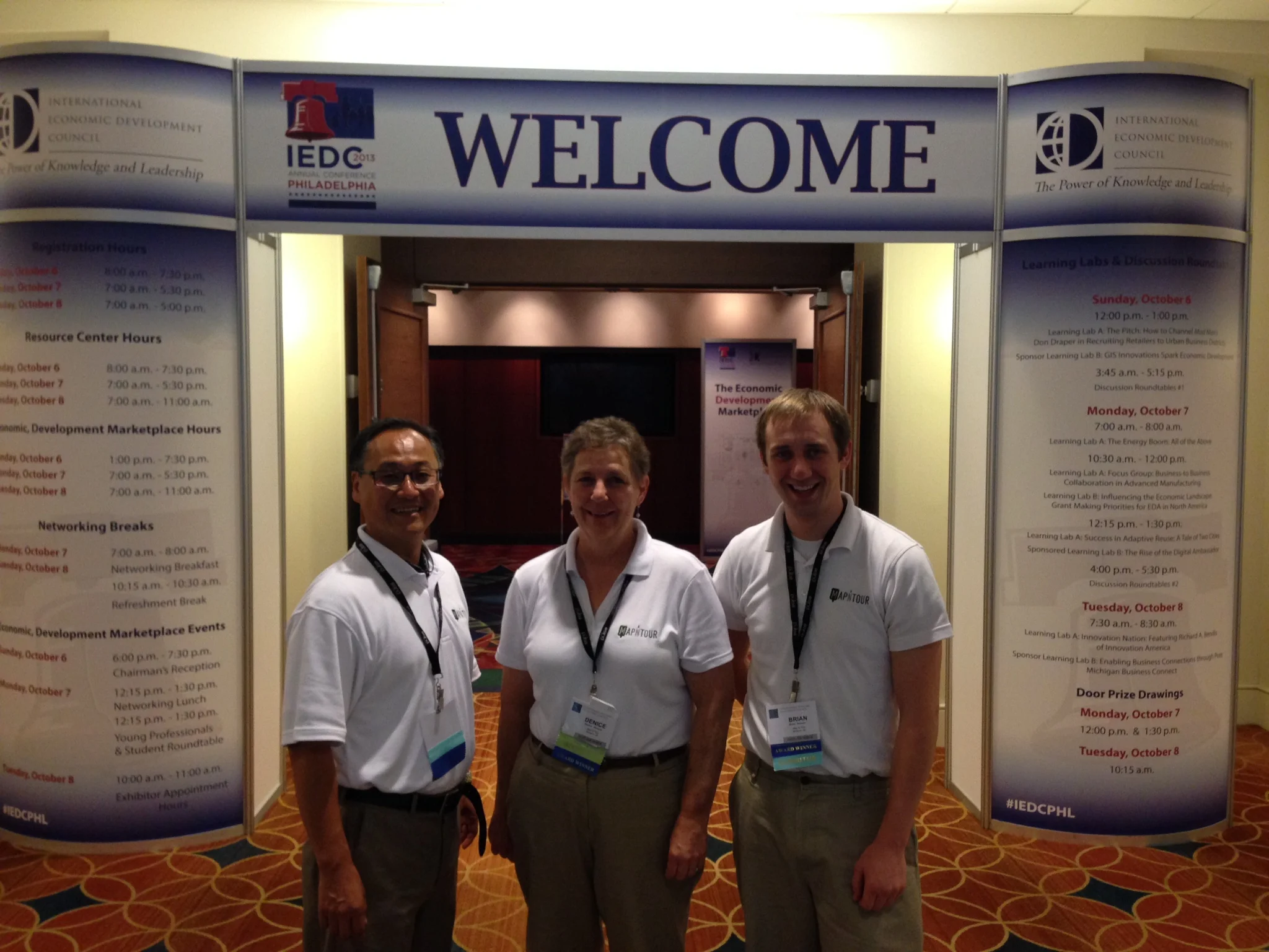
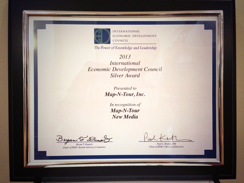
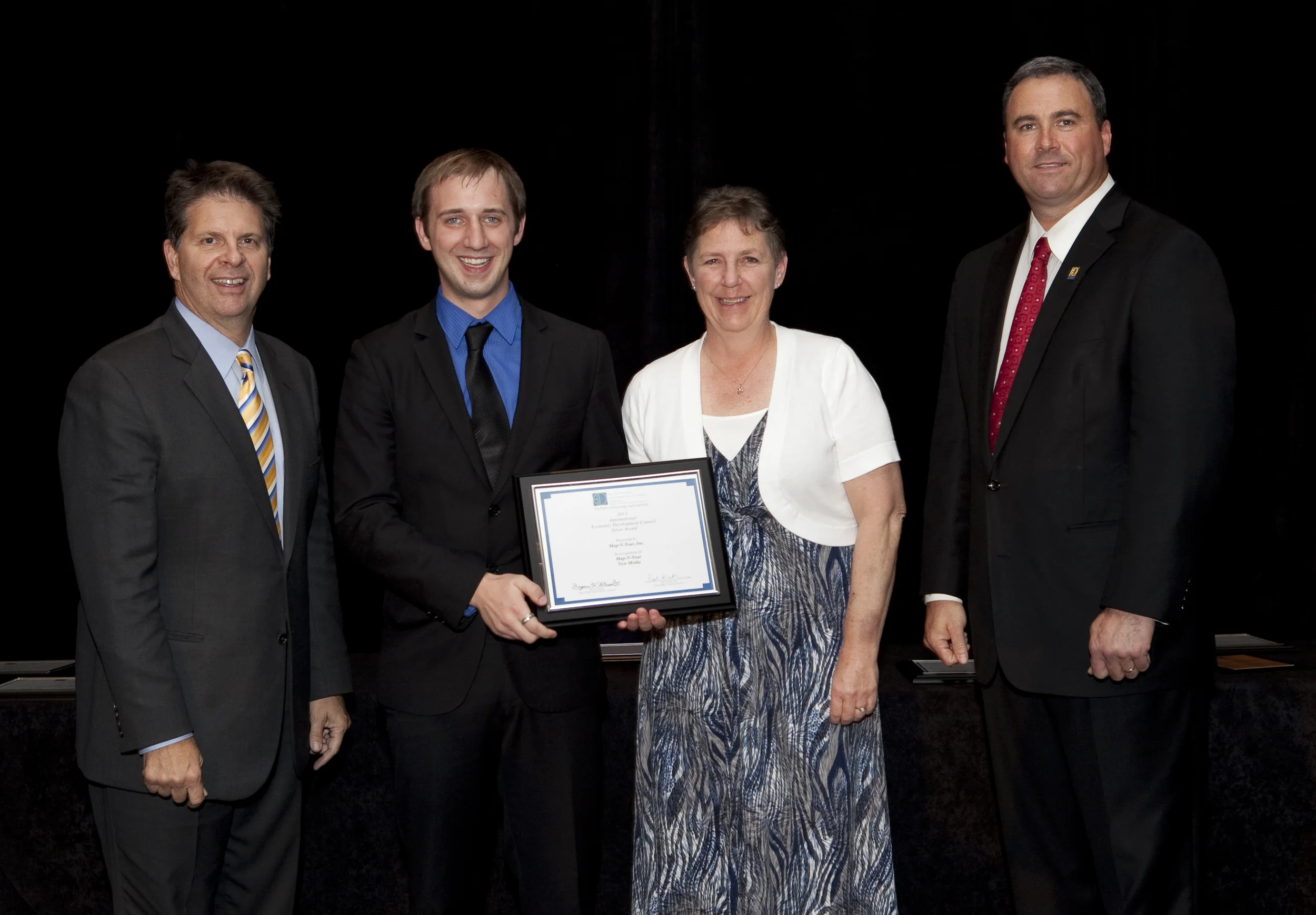
WASHINGTON, DC (October 02, 2018) – Northwest Iowa Development received a Bronze Excellence in Economic Development Award for its Northwest Iowa Regional Virtual Business Location Tour, a project in the category of New Media of the International Economic Development Council (IEDC).
The honor was presented at an awards ceremony on Tuesday, October 2, during the IEDC Annual Conference, which was held September 29 – October 3, in Atlanta, Georgia, United States.
“Northwest Iowa Development takes great pride in our partnership approach to marketing and promoting our highly attractive region. The recognition from IEDC for our virtual business location tour reinforces our strong belief in the use of cutting –edge marketing tools to position Northwest Iowa as a vibrant economic engine that should be considered by growing companies,” said Dave Miller, Board Member, Northwest Iowa Development.
Northwest Iowa Development (NWID) is multi member partnership focused on marketing and positioning the region for business expansion and new locations. The population of the Northwest Iowa region is 103,034. The Northwest Iowa Regional Virtual Business Location Tour project is being submitted by the City of Rock Valley on behalf of Northwest Iowa Development, a six county regional partnership.
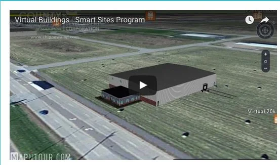
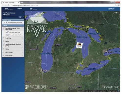
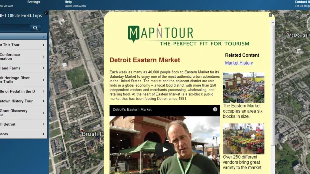
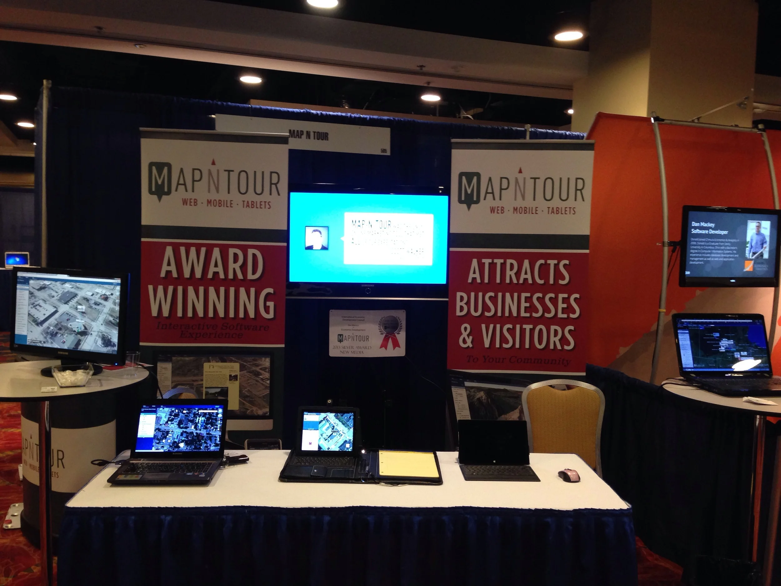
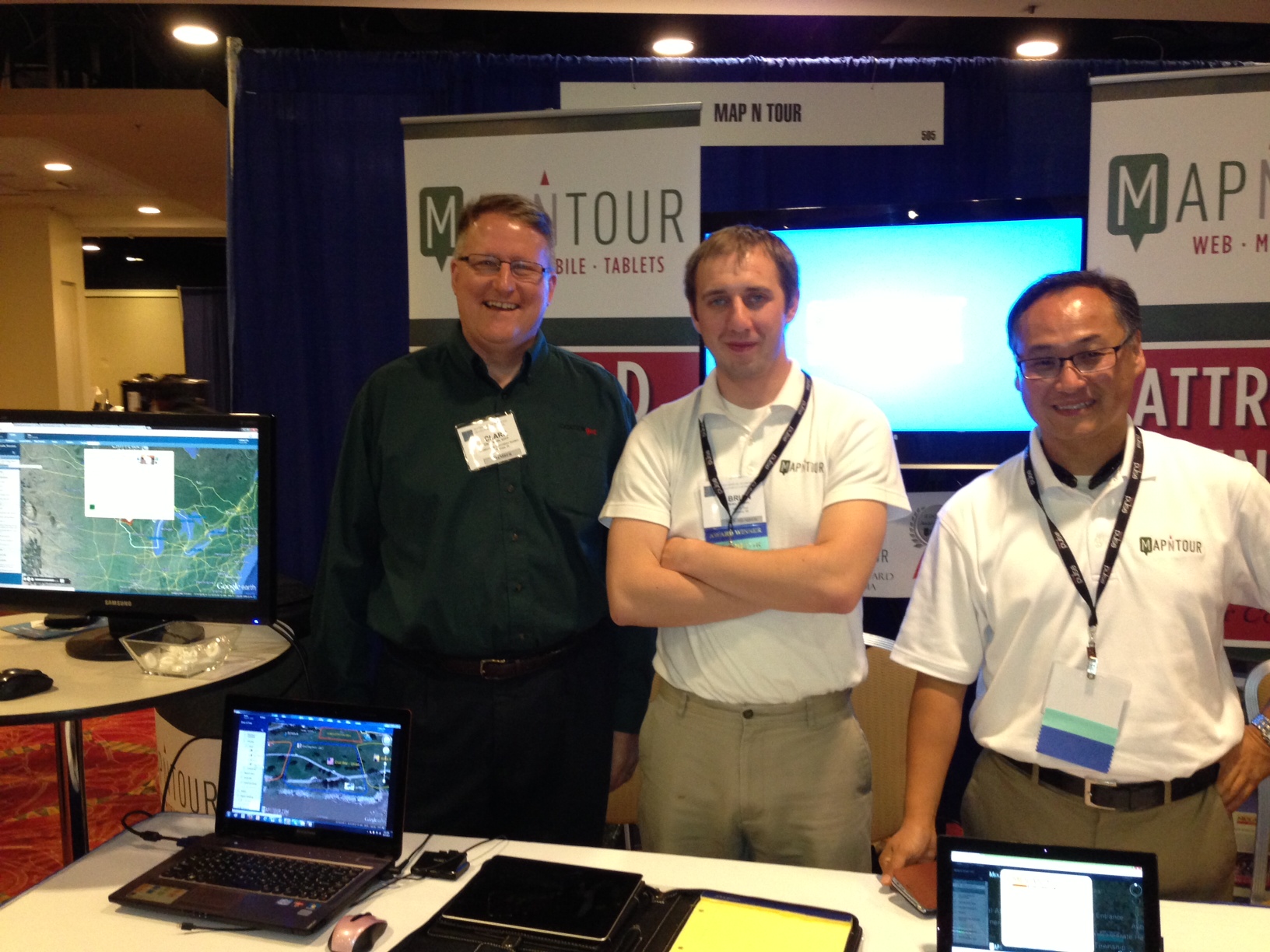
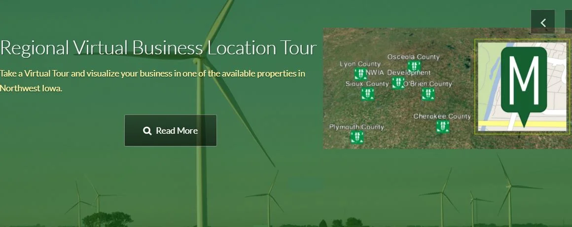
The Northwest Iowa Virtual Regional Business Location Tour allows a site selector or a business exploring expansion or new location sites, to quickly and efficiently visually explore featured business parks in all six counties. A 50,000 square foot virtual manufacturing/distribution building model was designed to be strategically displayed on each of the 6 featured business parks. The virtual building was carefully sited in each park to maximize access to infrastructure, highways and visibility. Access to the Virtual Tour will be primarily through the Northwest Iowa Development website (www.northwestiowa.com) and has been prominently highlighted on the homepage. Smart Solutions Group (http://smartsolutionsgroup.net) of DesMoines Iowa served as the economic development marketing consultants for the project and the tour is powered by Midland, MI based Map-N-Tour web and mobile technology (www.mapntour.com ).
"This year our judges reviewed some extraordinary projects that advanced both communities and businesses. We congratulate all the award winners, and thank everyone who nominated their projects for sharing their success with fellow IEDC members. What we learn from each other helps us to grow and advance as a profession. We look forward to even greater participation from economic developers across the globe in the 2019 awards program.” -Craig Richard, CEcD, FM, President and CEO, Tampa Hillsborough Economic Development Corporation located in Tampa, Florida, and 2018 IEDC Board Chair
About the International Economic Development Council
The International Economic Development Council (IEDC) is the world's largest membership organization for economic development professionals. Economic developers promote economic well-being and quality of life in their communities by creating, retaining, and expanding jobs that facilitate growth and provide a stable tax base. From public to private, rural to urban, and local to international, our members represent the entire range of economic development. Learn more at iedconline.org.

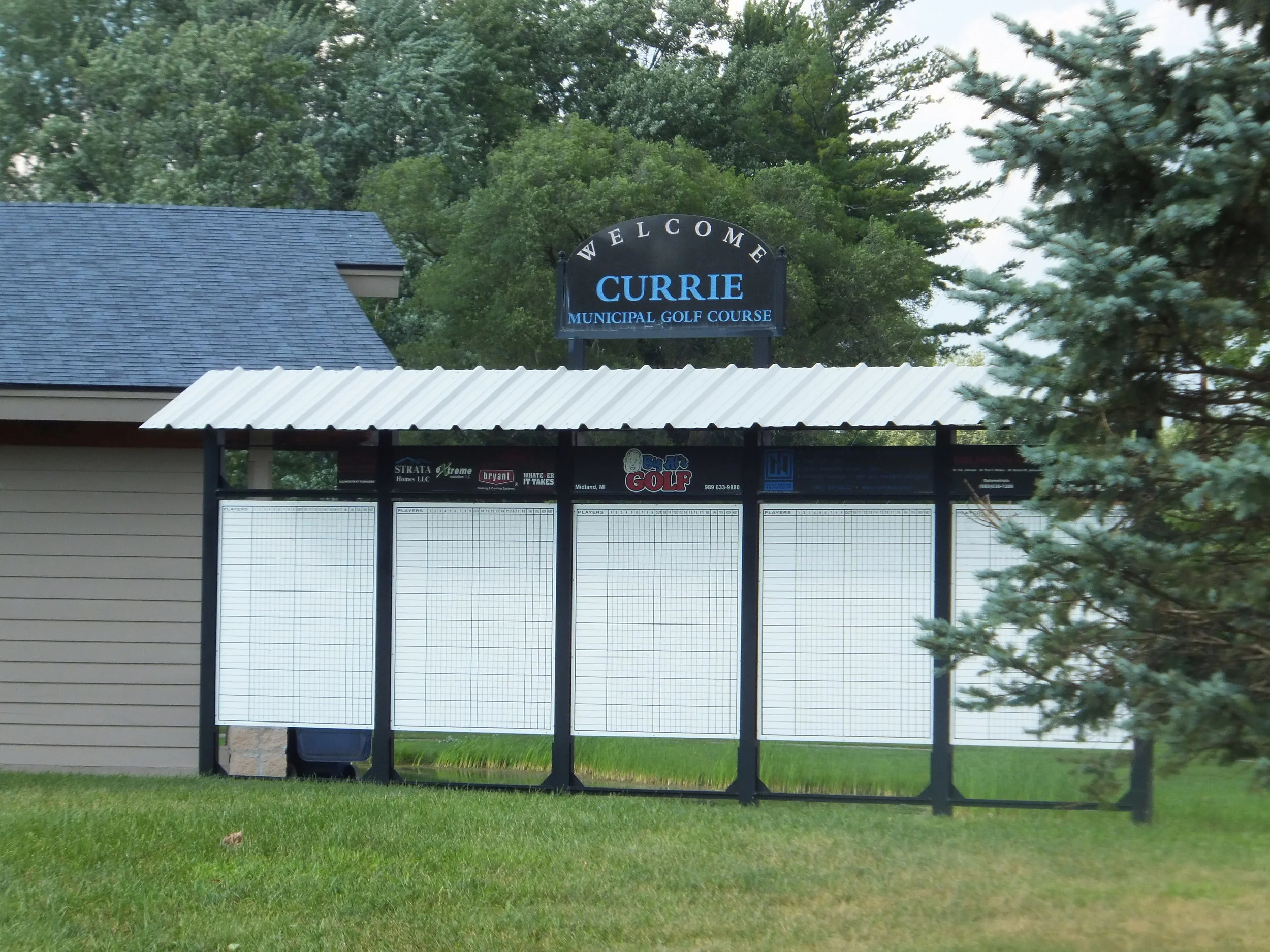
Northwest Iowa Development’s member, Sheldon Chamber and Development, added promotional content of three of their prime business parks. They showcase business expansion opportunities on the interactive map and offer prospects a fly-through tour video.